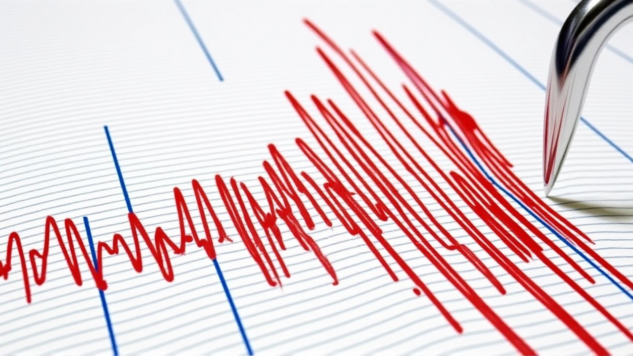
Six people lost their lives when a powerful earthquake rattled the southern Philippines on Friday, Oct. 10, 2025, sparking temporary tsunami warnings that were later lifted. The main shock, a magnitude 7.4 tremor, struck at 9:58 a.m. Manila time just off the coast of Manay in Davao Oriental province, followed by a 6.7 aftershock at 7:12 p.m. that compounded the damage.
Geological backdrop and regional risk
The Philippines sits squarely on the Pacific Ring of Fire, a horseshoe of tectonic plates that generates frequent and often violent seismic activity. Philippine Institute of Volcanology and Seismology (PHIVOLCS) monitors dozens of fault lines across the archipelago, including the East Mindanao Trench where the October quakes originated in the Celebes Sea (coordinates 7.058°N 126.320°E, depth 35 km). The region’s geology means that even moderate‑sized jolts can trigger landslides, mining collapses, and, as seen on Friday, fleeting tsunami threats.
Timeline of the October 10 events
- 9:58 a.m. (01:58 UTC) – Mainshock magnitude 7.4, epicenter ≈ 12 mi off Manay, depth 35 km.
- 10:15 a.m. – PHIVOLCS issues tsunami alert for coastal barangays within 100 km of the epicenter.
- 10:30 a.m. – Local authorities begin evacuations in Manay, Governor Generoso, and Baganga.
- 11:45 a.m. – Tsunami warning lifted after sea‑level sensors show no significant wave.
- 7:12 p.m. (11:12 UTC) – Aftershock magnitude 6.7, epicenter ≈ 23 km ESE of Santiago, depth 33 km.
- Evening – Over 42 aftershocks ≥ 4.0 recorded within 18 hours (USGS data).
The United States Geological Survey (USGS) corroborated both tremors and supplied the aftershock count, while local news agency Agence France‑Presse relayed statements from rescue officials.
Human toll, injuries, and structural damage
Rescue official Kent Simeon, the Pantukan town disaster response leader, confirmed three gold miners were killed when a shaft collapsed in the remote hamlet of Gumayan during the main shock. One miner survived, and several others suffered injuries. In the provincial capital, Mati City, a wall gave way, killing a resident; another person suffered a fatal heart attack amid the chaos. Davao City, over 100 mi west, saw a casualty when falling debris crushed a passerby.
Beyond lives lost, the Department of Public Works and Highways (DPWH) reported damage to at least three bridges along the Pan‑Philippine Highway between Mati and Davao City. Power outages affected roughly 12,000 households, and dozens of homes in coastal barangays reported roof collapse.
Emergency response and relief operations
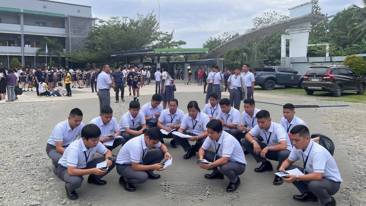
Within minutes of the first quake, the Philippine National Police, Philippine Coast Guard, and the Armed Forces of the Philippines mobilized search‑and‑rescue teams to the hardest‑hit zones. Department of Social Welfare and Development (DSWD) deployed 5,000 family food packs to displaced families in Manay, Governor Generoso, and surrounding villages.
PHIVOLCS kept a 24/7 monitoring center active in Quezon City, providing real‑time updates to local radio and television stations. Meanwhile, community volunteers set up makeshift shelters in school gymnasiums, and local NGOs distributed sandbags to mitigate further flooding risks.
What this means for future preparedness
The October quakes arrived only 11 days after a magnitude 6.9 tremor struck Cebu Province on Sept. 29, which claimed 75 lives and injured more than 1,200. The back‑to‑back events highlight the urgent need for stricter building codes, especially in mining areas where informal shafts are common. Experts from the University of the Philippines’ Institute of Disaster Resilience suggest retrofitting older structures and expanding early‑warning siren networks along the eastern Mindanao coast.
In the longer view, the pattern of shallow, high‑magnitude quakes may prompt the national government to accelerate funding for seismic‑resistant infrastructure, a priority echoed by the International Seismological Centre’s recent report on rising subduction‑zone activity in the Celebes Sea.
Key facts at a glance
- Magnitude 7.4 mainshock at 9:58 a.m.; magnitude 6.7 aftershock at 7:12 p.m.
- Death toll: 6 confirmed (3 miners, 2 civilians, 1 indirect)
- Injuries: dozens, with over 30 hospitalized
- Temporary tsunami alerts covered 15 coastal barangays
- More than 42 aftershocks ≥ 4.0 recorded within 18 hours
Frequently Asked Questions
How many people were directly affected by the tsunami alerts?
Officials say roughly 12,000 residents in 15 coastal barangays received evacuation orders, although no significant wave materialized.
What caused the miners' deaths in Gumayan?
The main tremor triggered a collapse of an ad‑hoc gold‑mining shaft. Three miners were caught inside; one escaped, while the others were fatally injured.
Are there any signs that another large quake could occur soon?
Seismologists note the region’s position on the East Mindanao Trench makes aftershocks common, but a quake of this magnitude is not predictable. PHIVOLCS will continue 24‑hour monitoring.
How is the government supporting displaced families?
The DSWD has dispatched 5,000 food packs, while temporary shelters have been set up in schools and community centers. Additional cash assistance is slated for distribution next week.
What lessons were learned from the September 29 Cebu quake?
The Cebu disaster underscored gaps in building code enforcement and early‑warning communication. Authorities are now reviewing retrofit programs and expanding siren coverage along vulnerable coastlines.


Write a comment