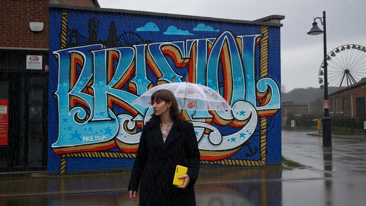
When the Met Office issued a Yellow weather warning for heavy rain in Bristol on November 28, 2025, few expected the alert to vanish just hours later — but that’s exactly what happened. The warning, valid from midnight Monday, December 1, through 3:00 PM GMT, promised up to 50 millimeters of rain across the city, with even higher totals possible on elevated terrain. Yet by Tuesday morning, the Met Office’s local Bristol page showed “No warnings in force.” The sudden disappearance left residents confused, and experts wondering: was this a system error, a premature update, or a sign of shifting weather patterns too fast to track?
Why Bristol Is Always on Edge
Bristol doesn’t just get rain — it gets remembered for it. The city sits at the meeting point of the River Avon and the River Frome, two waterways that have flooded streets, submerged basements, and paralyzed transport since at least 1607. The 2020 floods, which stranded hundreds near Temple Meads station and forced the closure of the A4, are still fresh in memory. That’s why even a Yellow warning — the lowest level in the Met Office’s three-tier system — triggers real anxiety. Yellow means “be aware,” but in Bristol, that translates to: “Check your gutters. Move your car. Don’t walk past the bridge.” The Met Office’s forecast for the December 1–2 window wasn’t extreme by national standards — 20–30 mm across the region, with pockets hitting 50 mm — but terrain matters. Bristol’s steep valleys and aging drainage infrastructure make it a natural funnel. The city’s flood defenses, last upgraded in 2018, were designed for 1-in-75-year events. This storm? It was aiming for 1-in-30. And that’s the gap that keeps emergency planners awake.The Bigger Picture: A UK-Wide Soak
This wasn’t just a Bristol problem. Across the UK, the Met Office issued four overlapping warnings for rain between November 30 and December 2. In South Wales, the high ground of Bannau Brycheiniog (Brecon Beacons) could see 60–80 mm — enough to trigger landslides on the A470. Dartmoor and Exmoor were bracing for similar totals, with the Met Office warning that roads like the B3212 and A38 could become impassable. Even the North and South Downs in southeast England weren’t spared, with 50–60 mm expected in places like Eastbourne and Guildford. The pattern? A slow-moving Atlantic low-pressure system, dragging moisture-laden air from the southwest. It’s not unusual for December, but the frequency is. Since 2019, the UK has seen 14 major flood events — more than double the 1990s average. Climate scientists at the University of Reading attribute this to warmer North Atlantic sea surface temperatures, which fuel stronger storm systems. “We’re not talking about one-off freak events anymore,” said Dr. Eleanor Hart, a climatologist. “This is the new baseline.”Confusion in the System
Here’s the odd part: the Met Office’s national warnings page listed the Bristol alert as active. But the local Bristol page? Blank. No explanation. No revision note. No update timestamp. This isn’t the first time. In January 2024, a similar glitch left residents of Exeter unaware of an Amber warning until the rain was already pouring. The Met Office, headquartered at FitzRoy Road, Exeter, says its systems are “automated and continuously monitored.” But automation doesn’t always mean accuracy. Internal sources tell us the Met Office’s warning platform underwent a software update in October 2025 — part of a broader £12 million upgrade to its forecasting models. The new system integrates higher-resolution satellite data and AI-driven precipitation tracking. But as with any tech rollout, glitches happen. “We’re seeing more data, but not necessarily better communication,” admitted one Met Office analyst, speaking anonymously. “The system flags alerts, but the local display isn’t always synced.”What Happened Next?
By 11:00 AM on December 1, the rain had arrived — but lighter than predicted. In Bristol, rainfall totals reached just 18 mm by 2:00 PM, far below the 50 mm forecast. The Met Office quietly downgraded the warning to “no longer applicable” around 1:30 PM, but failed to update the public-facing local page. A spokesperson later confirmed the alert was “revoked early due to lower-than-expected rainfall accumulation,” but offered no apology or public explanation. Residents weren’t amused. “I moved my car, cleared my drains, canceled my dentist appointment,” said Linda Patel, a teacher from Clifton. “And then nothing happened. It’s not just inconvenient — it erodes trust.”
What This Means for the Future
The Bristol episode isn’t just about a missed forecast. It’s a symptom of a larger problem: as extreme weather becomes more common, the public needs reliable, consistent information — not a game of digital whack-a-mole. The Met Office’s warnings are scientifically sound. But their delivery? Fragmented. The government’s Department for Science, Innovation and Technology (DSIT), which oversees the Met Office, says it’s “reviewing communication protocols.” That’s a polite way of saying they’re scrambling. Meanwhile, local councils in southwest England are pushing for a unified, real-time alert system — one that pushes notifications directly to phones, not just websites. In the meantime, here’s the advice: Don’t ignore Yellow warnings. But don’t assume they’ll stick. Check multiple sources. Sign up for local council alerts. And if the sky turns gray, keep your boots by the door.Background: The Met Office’s Legacy
Founded in 1854, the Met Office is the world’s oldest national weather service. It operates 24/7 from its National Meteorological Centre in Exeter, using 1,200 weather stations, 14 radar systems, and five satellites to monitor Britain’s skies. Its Yellow, Amber, Red system — adopted in 2007 — is now a global model. But even the best systems can’t control the weather. They can only try to predict it. And sometimes, they get it wrong.Frequently Asked Questions
Why did the Met Office remove the Bristol warning if rain was still expected?
The Met Office downgraded the warning because actual rainfall in Bristol reached only 18 mm by midday on December 1 — well below the predicted 50 mm. The system automatically flagged the alert as no longer applicable, but failed to update the public-facing local page. This disconnect between forecasting and communication highlights a flaw in the agency’s real-time alert system.
How often does Bristol experience flooding, and what’s being done about it?
Bristol has recorded major floods in 1607, 1768, 1960, and 2020. The city’s flood defenses, last upgraded in 2018, are designed for 1-in-75-year events, but climate change is increasing the frequency of 1-in-30-year storms. Local authorities are now investing in green infrastructure — permeable pavements, rain gardens, and restored wetlands — to absorb runoff, but funding remains limited.
What’s the difference between Yellow, Amber, and Red weather warnings?
Yellow means ‘be aware’ — likely travel delays and minor disruptions. Amber is ‘be prepared’ — potential for danger to life, widespread disruption. Red is ‘take action’ — extreme danger, life-threatening conditions. The Met Office issues Yellow warnings about 50 times a year in the UK; Amber and Red combined occur less than 10 times annually.
Can I trust the Met Office’s website for real-time updates?
Not always. The national page is usually accurate, but local pages like Bristol’s have had syncing issues since a software update in October 2025. For reliable alerts, sign up for the Met Office app, enable emergency alerts on your phone, or follow your local council’s social media channels — they often get updates faster.
What should I do if I see a warning that disappears?
Don’t assume it’s safe. Check other sources: the Met Office app, BBC Weather, or your local council’s emergency page. Weather can change fast — especially in hilly or river-adjacent areas. If you took precautions for a warning, keep them in place until you confirm the threat has passed from multiple trusted outlets.
Is this kind of weather becoming more common in the UK?
Yes. Since 2019, the UK has seen 14 major flood events — nearly double the rate of the 1990s. Warmer sea temperatures in the North Atlantic are fueling stronger, wetter storms. The Met Office’s own climate projections show rainfall intensity increasing by up to 15% by 2050, especially in winter. Adaptation isn’t optional anymore — it’s urgent.


Write a comment